 Did you know that nautical charts expire?
OK maybe “expire” isn’t the right word, but given the ever-changing nature of the coast and the sea floor below, not to mention construction hazards, shipping lanes and “unexploded ordinances”, whatever those are 💣 (I’ve seen them on the charts!) they need to be updated every now and then to stay current. They’re basically road maps for boats!
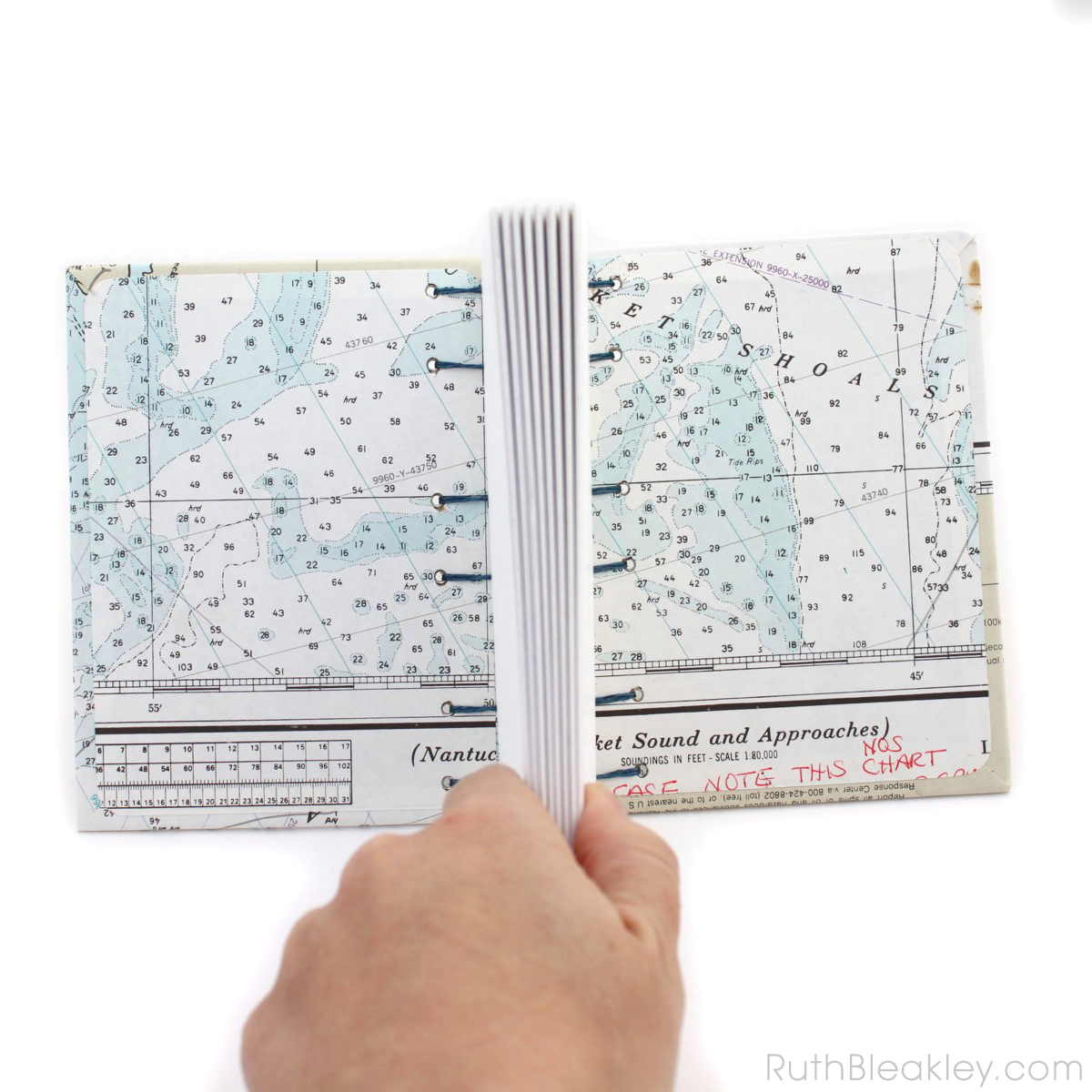
Nowadays most nautical charts are digital but you can still buy hard copies. It’s a legal requirement for commercial vessels (AKA “boats”) to carry the most updated charts available, so what do you think happens to all of those old outdated charts? Recycle Bin!! (if they’re lucky)
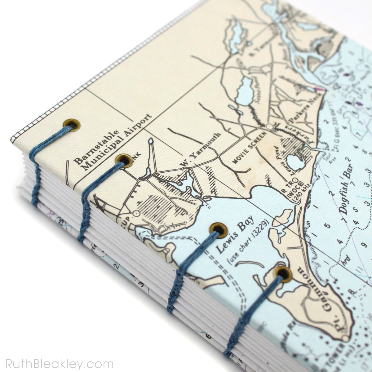
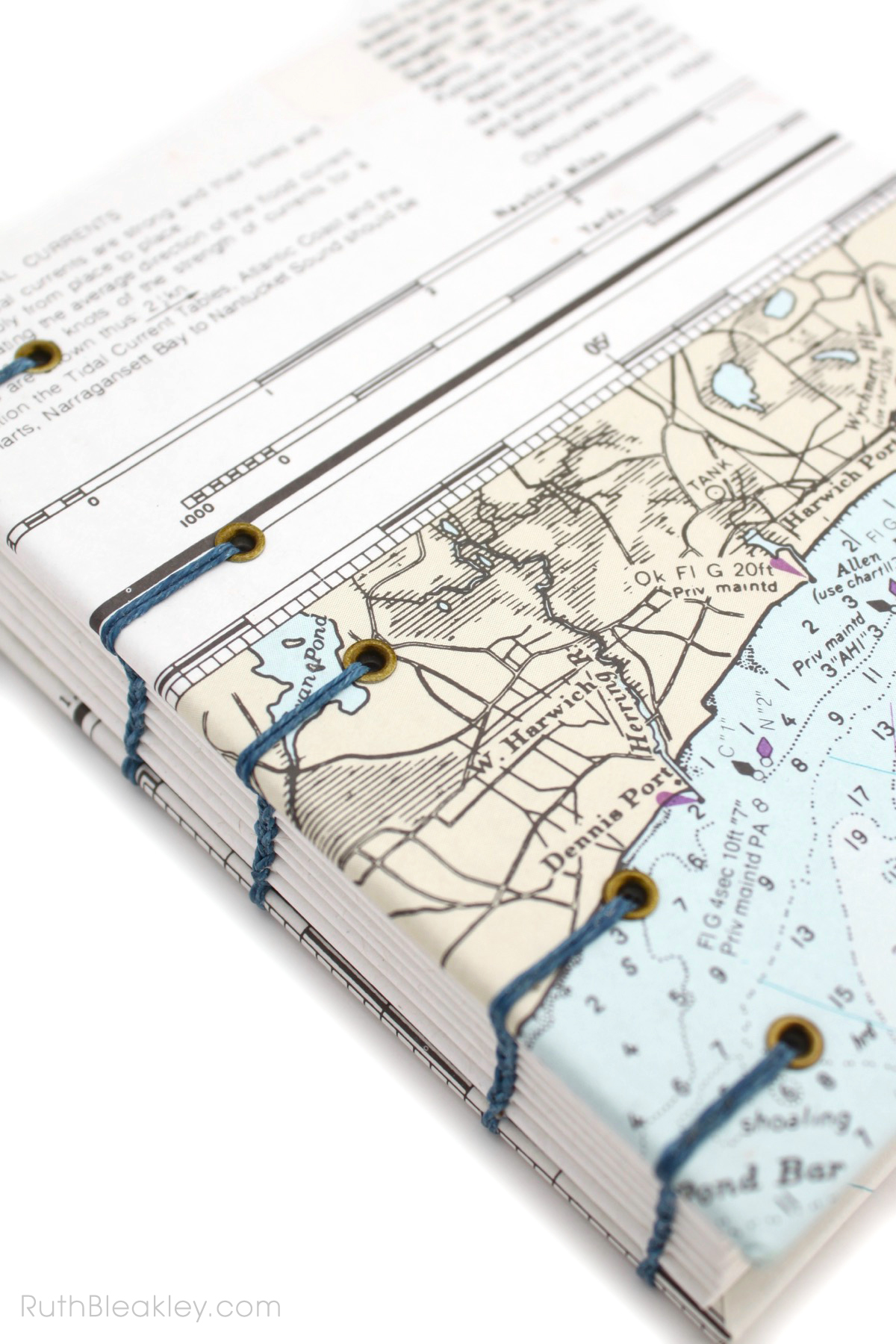
I was lucky indeed to live in Woods Hole on Cape Cod, which is home to many ocean science, sea education, weather research, and marine biology vessels and I’ve amassed quite a collection of charts that I enjoy turning into journals every now and then!
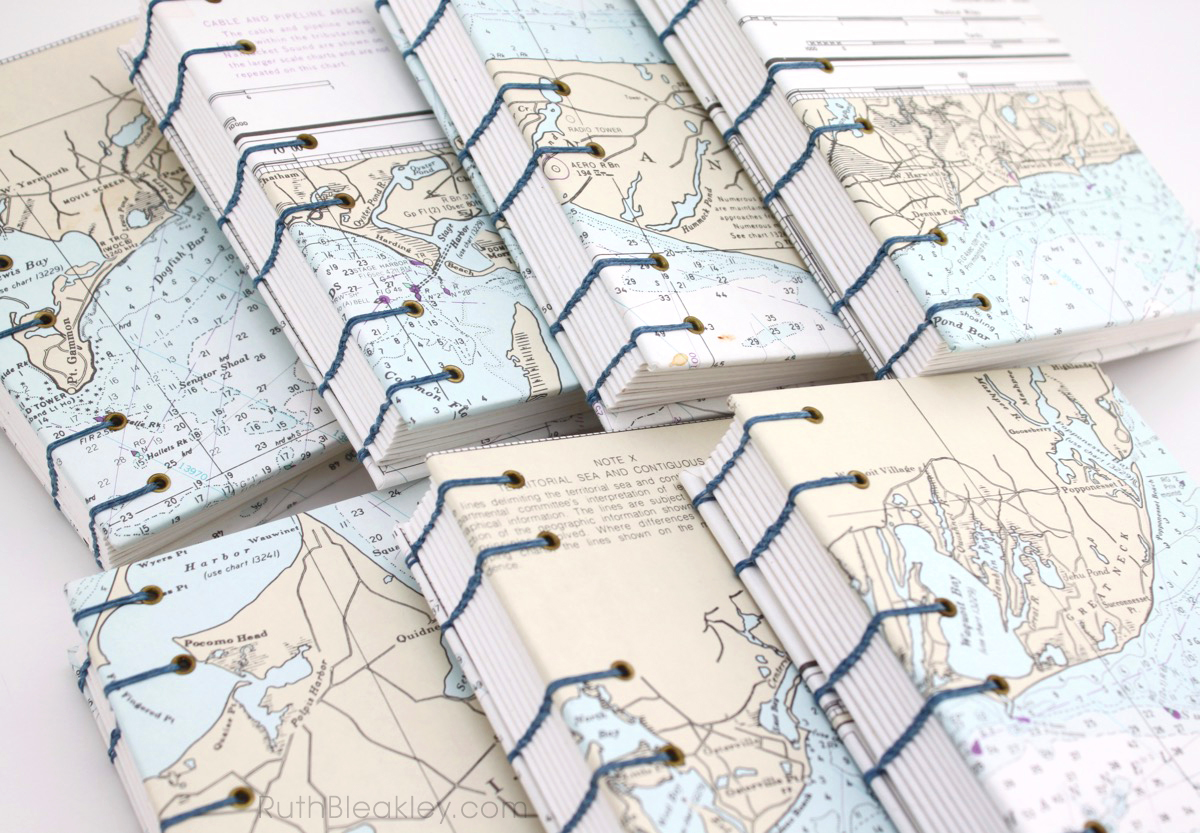
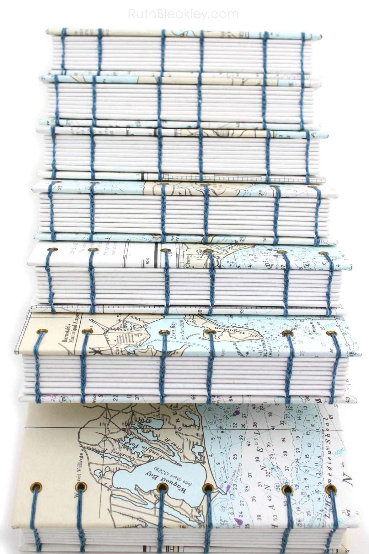
Each of these is one of a kind – right now I only have seven available and they’re all of the Cape and Islands in Massachusetts, so if you see one you like, grab it while you can:
Nantucket, Siasconset, Yarmouth, Chatham, Harwich Port, Osterville, Waquoit Bay

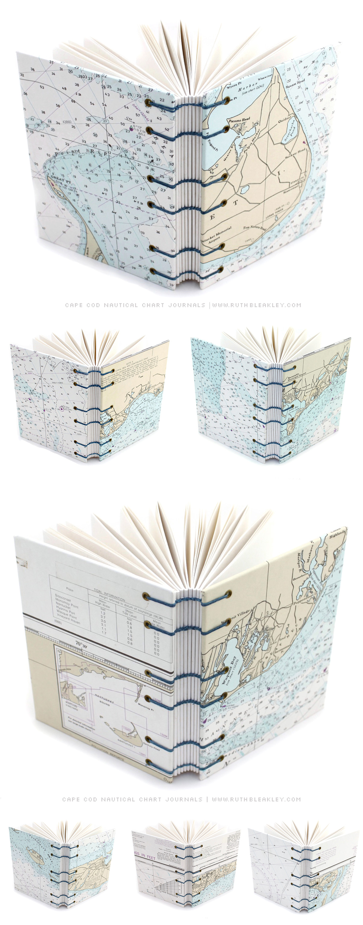
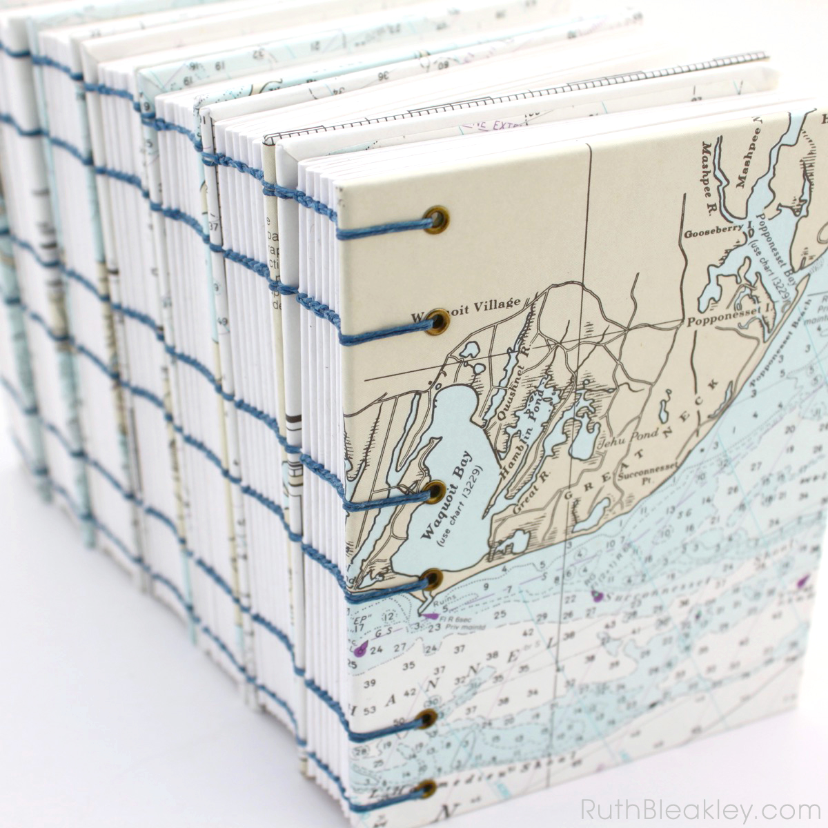
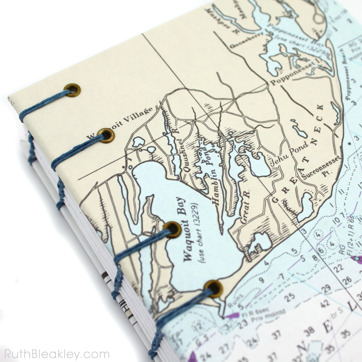 Popponesset, pictured on the right side of the book is a very popular Cape Cod wedding destination.

speaking of boats, a couple years ago I got my ASA 104 Bareboat Cruising certification. That cured me of my fantasy of living aboard a sailboat pretty quick! We anchored overnight near a public park where we were awoken by a drunken guy singing “Ramblin Man” at 3 AM, except he could only remember the words, “I was borrrrrn a ramblin’ maaaaan…….doin’ the best I caaan!” but that didn’t keep him from singing it as loud as possible for at least half an hour.
 Did you know that nautical charts expire?


Leave a Reply